
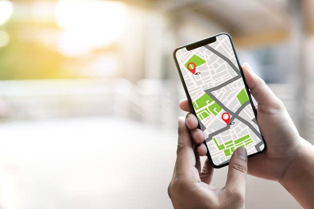
GPS Map to Route Destination network connection Location Street Map with GPS Icons Navigation
Have you ever wondered how your phone can pinpoint your location within a few meters—whether you’re hiking in the mountains or navigating city streets? The answer lies in the incredible technology behind GPS, or the Global Positioning System.
GPS is a network of at least 24 satellites orbiting Earth, originally developed by the U.S. Department of Defense. These satellites continuously send signals to Earth, and your GPS-enabled device—like a smartphone or car navigation system—receives and interprets them. By calculating how long it takes for each signal to arrive, the device can determine your exact position through a process called trilateration.
To visualize it, imagine three satellites drawing invisible circles around your location. Where those circles intersect is where you are. The more satellites your device connects to, the more accurate your position becomes. In open areas, GPS can be accurate within a few feet; however, tall buildings or tunnels can interfere with signals, slightly reducing precision.
But modern GPS systems go far beyond basic navigation. They integrate with mapping apps, fitness trackers, drones, and even self-driving cars. Farmers use GPS for precision agriculture, while pilots rely on it for safe and efficient flight routes. Delivery companies optimize routes in real time, saving fuel and time—all thanks to GPS technology.
The future of GPS looks even brighter. With the rise of global systems like Europe’s Galileo and China’s BeiDou, location accuracy is improving worldwide. Next-generation GPS will also work seamlessly indoors and underground, expanding its usefulness in smart cities and augmented reality applications.
In short, GPS is more than just a navigation tool—it’s a silent global network guiding our daily lives, connecting the physical and digital worlds with astonishing precision.